
PIX4Dreact Educational Licenses
PIX4Dreact Educational Licenses offer academic users a fast and practical solution for converting drone imagery into high-resolution 2D maps for emergency response, public safety, surveying, and educational mapping projects.
Read more
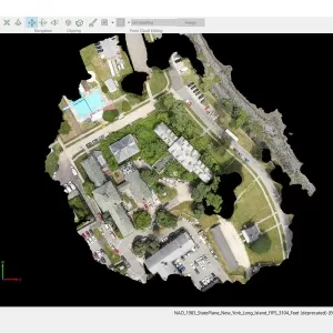
PIX4Dmapper Educational License
PIX4Dmapper Educational License provides academic access to professional drone photogrammetry software for creating georeferenced orthomosaics, point clouds, 3D models and mapping outputs from aerial imagery.
Read more
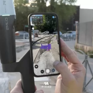
PIX4Dcatch: Transforms Smartphone or Tablet Into a Professional-Grade Surveying Tool
PIX4Dcatch is a mobile 3D scanning solution for capturing georeferenced site data using a smartphone or tablet, with support for photogrammetry, device LiDAR and RTK positioning for professional surveying workflows.
Read more
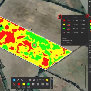
PIX4Dfields Educational License
PIX4Dfields Educational License provides academic access to professional agricultural mapping software for processing drone and satellite imagery, analyzing crop conditions and creating high-resolution field maps.
Read more
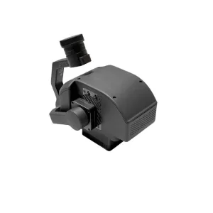
FS60-C Airborne Hyperspectral Camera
The FIGSPEC FS60-C is a 1200-band airborne hyperspectral camera covering 400–1000 nm with 2.5 nm spectral resolution, 1920 spatial pixels and full-band imaging up to 128 fps for UAV-based remote sensing.
Read more
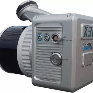
LiAir X3C-H
GreenValley LiAir X3C-H is a lightweight UAV LiDAR mapping system featuring a 32-channel 905 nm scanner, up to 1.92 million points/sec, 26 MP mapping camera and 360° × 40.3° scanning coverage for aerial surveying and 3D mapping.
Read more
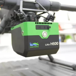
Greenvalley LiAir H600
GreenValley LiAir H600 is a 1.3 kg UAV LiDAR system featuring up to 750 m ranging capability, 550,000 points/sec data acquisition, unlimited waveform returns and a 26 MP mapping camera for professional aerial surveying and 3D mapping.
Read more
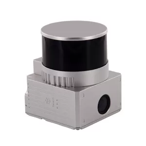
GS-130X UAV LiDAR Scanning System
Geosun GS-130X is a compact 32-channel UAV LiDAR scanning system with up to 120 m ranging capability, 1.28 million points/sec acquisition, GNSS/INS positioning and a 26 MP RGB camera for professional aerial surveying and 3D mapping.
Read more
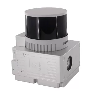
GS-260X Drone LiDAR Scanning System
Geosun GS-260X is a professional UAV LiDAR scanning system with a 300 m maximum ranging capability, 32-beam laser scanner, 1.92 million points/second data rate and integrated GNSS/INS and camera, designed for aerial mapping and 3D surveying.
Read more
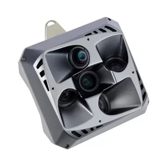
Get3D 5-Eye Lens Camera, 26 MP, total 130 MP
Get3D 5-Eye Lens Camera is a professional aerial mapping camera designed for high-detail 3D mapping, photogrammetry and surveying. Its five-camera oblique configuration captures downward and angled views in a single flight, providing rich multi-angle imagery for accurate 3D reconstruction, urban mapping and infrastructure surveys. The 26 MP × 5 configuration provides a combined 130 MP imaging system.
Read more
ADTi 25 mm APS-C Professional Mapping Camera Lens
ADTi 25 mm APS-C Professional Mapping Camera Lens is a lightweight fixed-focus aerial mapping lens with F5.6 aperture, E-mount compatibility and 25 mm-to-infinity focus range, designed for UAV surveying and photogrammetry.
Read more
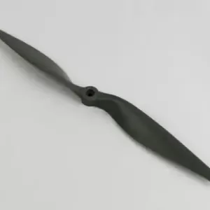
APC 9*9E Propeller CCW
APC 9×9E is a lightweight two-blade Thin Electric propeller with a 9-inch diameter and 9-inch pitch, designed for compatible electric aircraft with standard CCW rotation.
Read more