
GS-260X Drone LiDAR Scanning System
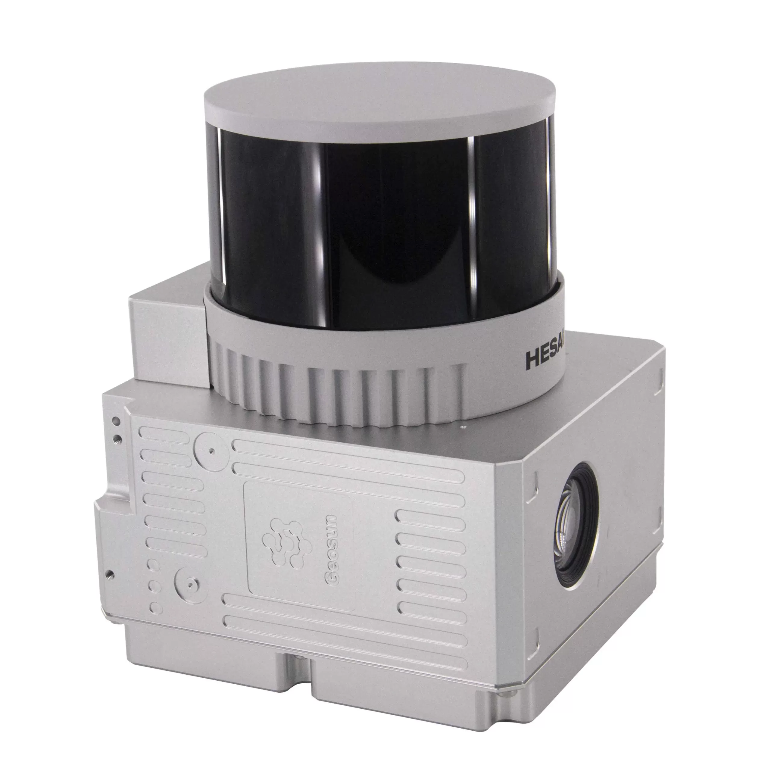
Geosun GS-260X is a professional UAV LiDAR scanning system with a 300 m maximum ranging capability, 32-beam laser scanner, 1.92 million points/second data rate and integrated GNSS/INS and camera, designed for aerial mapping and 3D surveying.
About This Product
The Geosun GS-260X is a compact UAV LiDAR mapping system built for collecting three-dimensional spatial data from aerial platforms. It brings together a laser scanner, GNSS positioning, inertial measurement technology, onboard storage and an imaging camera in one payload.
The system is designed to capture dense point-cloud information while also recording image data, making it useful for large-area surveying and inspection projects where terrain, structures and vegetation need to be digitally represented.
Features
- Compact LiDAR payload for UAV mapping
- 32-channel laser scanning system
- Up to 300 m stated maximum measuring range
- 360° adjustable scanning field of view
- Three-echo data acquisition
- Point output rate up to 1,920,000 points/second
- Integrated GNSS and INS positioning system
- 200 Hz POS update rate
- Integrated 26 MP imaging camera
- 83° camera field of view
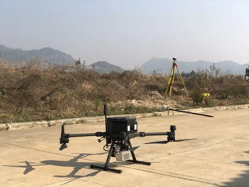
- Supports multi-rotor and VTOL platforms
- Internal storage with TF-card expansion
- Designed for high-density 3D point-cloud collection
- Supports trajectory and point-cloud processing workflows
- Suitable for surveying, forestry, agriculture and infrastructure inspection
Technical Specifications
| Specification | Details |
|---|---|
| Brand | Geosun |
| Model | GS-260X |
| System Type | UAV LiDAR Scanning System |
| Weight | Approx. 1.1 kg |
| Dimensions | Approx. 14.2 × 10.9 × 12 cm |
| System Accuracy | 10 cm @ 150 m |
| Power Supply | 12–24 V DC |
| Power Consumption | Approx. 20 W |
| Storage | 64 GB, supports up to 256 GB TF card |
| Carrying Platforms | Multi-Rotor / VTOL / Vehicle |
| Operating Temperature | -20°C to +55°C |
| LiDAR Range | Up to 300 m |
| LiDAR Channels | 32 |
| Laser Wavelength | 905 nm |
| Laser Safety Class | Class 1 |
| Range Accuracy | Approx. ±0.5 cm |
| LiDAR FOV | 360° / 40.3° |
| Point Rate | Up to 1,920,000 points/sec |
| Echoes | 3 |
| POS Unit | gSpin 310 |
| POS Update Rate | 200 Hz |
| Horizontal Position Accuracy | Approx. 0.02 m |
| Vertical Position Accuracy | Approx. 0.03 m |
| Pitch Accuracy | 0.005° |
| Roll Accuracy | 0.005° |
| Heading Accuracy | 0.017° |
| Camera Resolution | 26 MP |
| Camera FOV | 83° |
| Camera Focal Length | 16 mm |
| Processing Software | Shuttle / gAirHawk |
| Point Cloud Output | LAS / supported TXT formats |
You must be logged in to post a review.
Related products
1 in stock
Out of stock
1 in stock
Out of stock
Reviews
There are no reviews yet.