
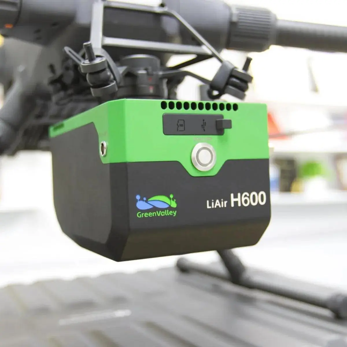
Greenvalley LiAir H600
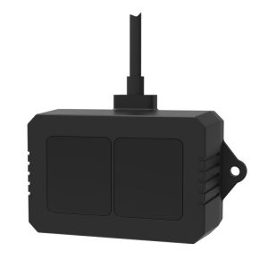
GreenValley LiAir H600 is a 1.3 kg UAV LiDAR system featuring up to 750 m ranging capability, 550,000 points/sec data acquisition, unlimited waveform returns and a 26 MP mapping camera for professional aerial surveying and 3D mapping.
About This Product
The GreenValley LiAir H600 is a lightweight UAV LiDAR mapping system designed for medium-range aerial surveying. It combines a mapping-grade laser scanner with high-precision GNSS/INS positioning and an integrated 26 MP mapping camera in a single payload. Its long-range scanning capability and multiple-return waveform technology help capture information from both elevated surfaces and terrain beneath vegetation. The system is particularly suitable for applications where detailed three-dimensional data needs to be collected efficiently from a UAV.
Features
- Lightweight 1.3 kg integrated payload
- Mapping-grade LiDAR scanner
- Maximum stated range of 750 m under high-reflectivity conditions
- 267 m range at ≥10% reflectivity under specified outdoor conditions
- Up to 550,000 points/sec data acquisition
- 80° LiDAR field of view
- Unlimited waveform returns under supported conditions
- Small laser spot for detailed surface measurement
- Integrated 26 MP mapping camera
- 720P/30 FPS real-time video streaming
- High-precision GNSS and inertial navigation
- Designed for vegetation and terrain penetration
- Supports DJI M300/M350 RTK platforms
- GNSS antenna-free integration with supported UAV setup
- IP64 protection
- Compatible with GreenValley Flight Assistant
- Supports LiGeoreference processing workflow
- Suitable for powerline, forestry and disaster-survey missions
Technical Specifications
| Specification | Details |
|---|---|
| Brand | GreenValley International |
| Model | LiAir H600 |
| System Type | UAV LiDAR Scanning System |
| Total Weight | Approx. 1.3 kg |
| LiDAR Type | Mapping-grade single-line LiDAR |
| LiDAR Wavelength | 1535 nm |
| Scan Range | 267 m @ ≥10% reflectivity |
| Maximum Range | 750 m @ ≥80% reflectivity |
| Field of View | 80° |
| Data Frequency | 100,000–550,000 pts/s |
| Scanning Speed | 180–300 lines/sec |
| Number of Returns | Unlimited waveform returns* |
| Measurement Accuracy | 5 mm @ 100 m |
| Vertical Angle Resolution | 0.001° |
| Laser Safety | Class 1 Eye Safe |
| Mapping Camera | Integrated RGB camera |
| Camera Resolution | 26 MP |
| Camera GSD | Approx. 4.7 cm @ 200 m altitude |
| Live Video | 720P / 30 FPS |
| POS Attitude Accuracy | 0.006° post-processing |
| POS Azimuth Accuracy | 0.019° post-processing |
| Dimensions | 179 × 114 × 127.2 mm |
| Input Voltage | 14–24 V |
| Power Consumption | Approx. 50 W |
| Operating Temperature | -20°C to +50°C |
| Storage Temperature | -20°C to +60°C |
| Protection Rating | IP64 |
| Compatible UAV | DJI M300 / M350 RTK |
| Flight Control | GreenValley Flight Assistant |
| Georeferencing Software | LiGeoreference |
You must be logged in to post a review.
Related products
Out of stock
1 in stock
Out of stock
Out of stock
Out of stock
Reviews
There are no reviews yet.