
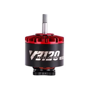
T-Motor Velox V3120 KV500
T-Motor Velox V3120 KV500 is a powerful cinematic FPV motor designed for 8–11 inch X4/X8 drones, delivering high thrust capability for heavy-payload aerial platforms.
Read more
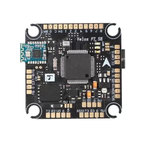
T-Motor Velox F7 SE Flight Controller
T-Motor Velox F7 SE is an F7-based flight controller with Bluetooth wireless setup, dual BEC outputs, 6 UARTs, 128MB Blackbox memory and support for up to 8 motors.
Read more
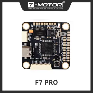
T-Motor F7 PRO Flight Controller
T-Motor F7 PRO is a wireless-enabled FPV flight controller featuring WiFi, Bluetooth, eight motor outputs, Betaflight and INAV support, and a 30.5 × 30.5 mm mounting pattern for cinematic and advanced drone builds.
Read more
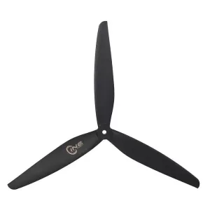
T-Motor CINE 10.5×5 Propeller
T-Motor CINE 10.5x5 is a 10.5-inch, 5-inch-pitch, three-blade propeller designed for cinematic FPV and heavy-lift drone applications.
Read more
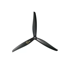
T-Motor CINE 15×10
T-Motor CINE 15x10 is a 15-inch, three-blade propeller designed for cinelifter and heavy-lift FPV drones, offering smooth thrust and stable performance for aerial cinematography.
Read more
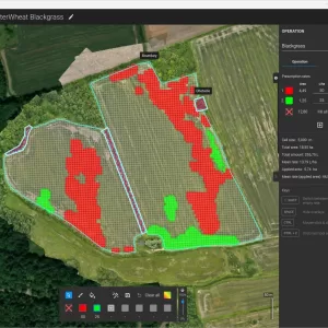
PIX4Dfield: Mapping Software for Aerial Crop Analysis and Digital Farming
PIX4Dfields is a precision-agriculture mapping solution that converts drone and satellite imagery into crop-health maps, vegetation indices, zonation maps, and variable-rate or spot-spraying prescription maps.
Read more
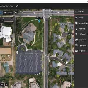
PIX4Dreact: High-Speed 2D Mapping Software
PIX4Dreact is a fast and lightweight 2D mapping solution that converts drone imagery into measurable orthomosaic maps for emergency response, public safety, field operations, and rapid situational awareness.
Read more
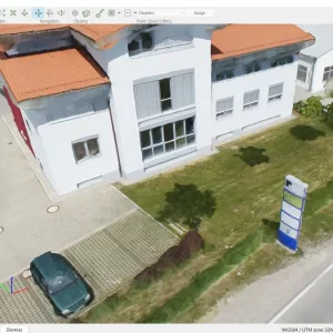
PIX4Dmapper: Industry-Standard Photogrammetry Software
PIX4Dmapper is a professional drone mapping and photogrammetry solution that transforms aerial or terrestrial images into detailed orthomosaics, point clouds, elevation models, 3D meshes, and other geospatial products.
Read more
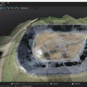
PIX4Dmatic Educational Licenses
PIX4Dmatic Educational Licenses provide academic users with professional photogrammetry and surveying tools for converting aerial or terrestrial imagery into precise 2D maps, 3D models, point clouds, terrain data, and CAD-ready information.
Read more
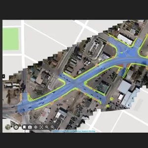
PIX4Dcloud: Web-Based Platform for Processing, Hosting, and Sharing Drone/Terrestrial Imagery
PIX4Dcloud is an online photogrammetry platform that transforms drone and terrestrial imagery into interactive 2D maps and 3D models for surveying, mapping, site monitoring, documentation, analysis, and collaboration.
Read more
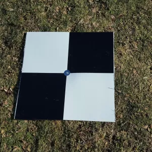
Pix4D Autotags: Auto-GCPs
Pix4D Auto-GCPs automatically detects supported ground control targets in drone imagery, helping users streamline GCP marking and improve the georeferencing workflow of mapping projects.
Read more
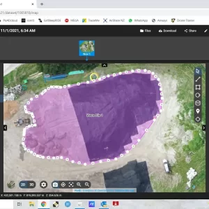
PIX4Dcloud Educational Licenses
PIX4Dcloud Educational Licenses offer academic users a professional cloud-based environment for drone mapping, 2D/3D reconstruction, site documentation, project analysis, and collaborative geospatial workflows.
Read more