
PIX4Dreact: High-Speed 2D Mapping Software
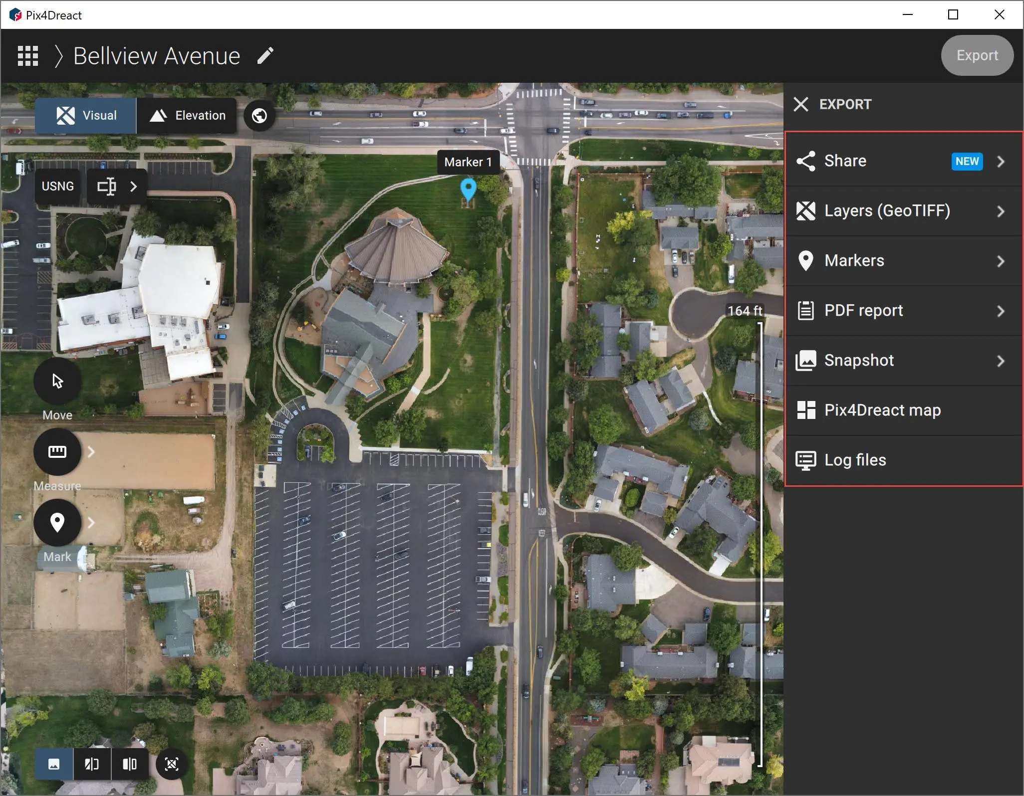
PIX4Dreact is a fast and lightweight 2D mapping solution that converts drone imagery into measurable orthomosaic maps for emergency response, public safety, field operations, and rapid situational awareness.
About This Product
PIX4Dreact is a desktop mapping application built for rapid creation of 2D maps from aerial imagery. It is designed especially for emergency response, public safety, humanitarian operations, and field teams that need usable map information quickly. The software processes imagery locally on the computer, so cloud processing or a continuous internet connection is not required. Users can create orthomosaics, inspect areas of interest, add markers, perform measurements, and export mapping information for sharing or further analysis.
Key Features
- Fast 2D orthomosaic generation
- Local processing without cloud dependency
- Designed for field and emergency operations
- Simple and intuitive interface
- Point, line, and area markers
- Distance and area measurements
- Side-by-side map comparison
- Map annotation and documentation
- PDF report generation
- Export maps and markers
- Share results through PIX4Dcloud
- GPU acceleration on compatible hardware
- Supports large collections of aerial images
- Works with supported RGB drone cameras
- Can operate without an internet connection after activation
Main Outputs
- Orthomosaic: GeoTIFF
- DSM / Surface Model: GeoTIFF
- Markers: GeoJSON, Shapefile
- PDF Report: PDF
- Snapshots: JPEG / PNG
- Complete PIX4Dreact Map: P4R
- Project Backup: P4Z
- PIX4Dcloud Sharing: Supported
Applications
- Emergency response
- Public safety
- Disaster assessment
- Search and rescue
- Humanitarian operations
- Rapid drone mapping
- Incident documentation
- Field surveying
- Infrastructure assessment
- Situational awareness
- Tactical mission planning
Technical Information
- Software Type: 2D fast-mapping software
- Platform: Desktop
- Processing: Local / offline
- Mapping: 2D orthomosaic
- Input: RGB aerial imagery
- GCP Support: Not supported
- Measurement: Distance and area
- Markers: Point, line and area
- Cloud Sharing: PIX4Dcloud
- GPU Acceleration: Supported
- Current Version: 1.7
- Latest Release: September 14, 2026
You must be logged in to post a review.
Reviews
There are no reviews yet.