
PIX4Dfields Educational License
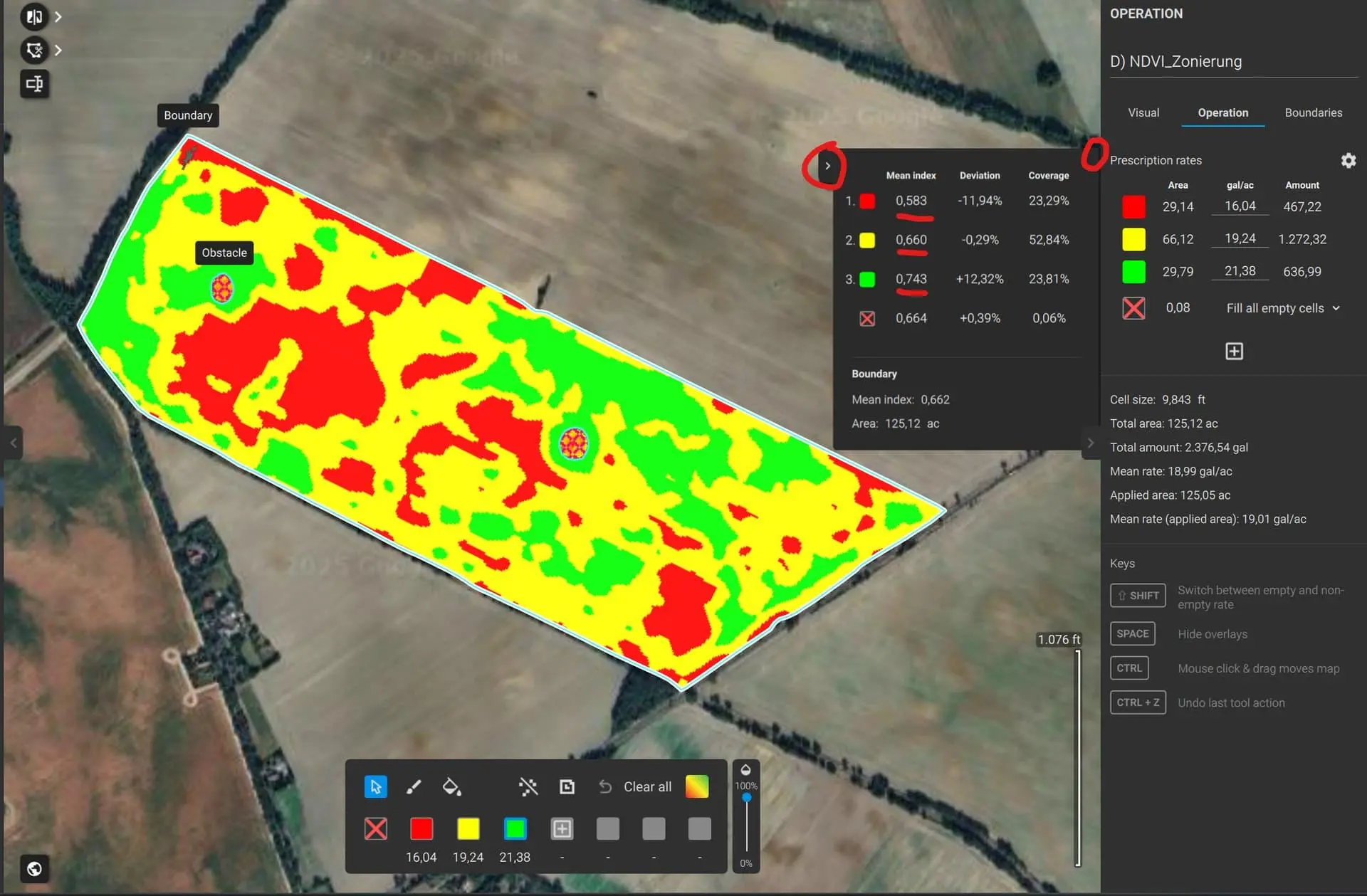
PIX4Dfields Educational License provides academic access to professional agricultural mapping software for processing drone and satellite imagery, analyzing crop conditions and creating high-resolution field maps.
About This Product
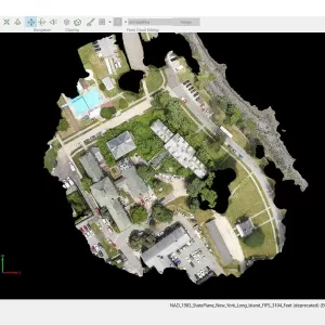
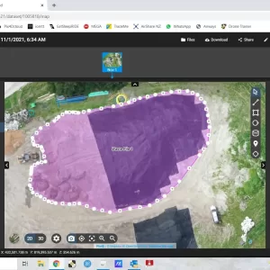
PIX4Dfields Educational License is an academic software license designed for teaching, learning and research involving drone and satellite imagery. It provides access to PIX4Dfields, a desktop application focused on rapid agricultural mapping and crop analysis.
The software allows students, teachers and educational institutions to process aerial imagery and create detailed agricultural maps and analysis outputs. The educational license is intended for users associated with recognized educational institutions.
Features
- Designed for educational and academic use
- Desktop application for Windows and macOS
- Drone and satellite imagery processing
- Agricultural field mapping
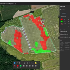
- Crop and vegetation analysis
- Vegetation index mapping
- High-resolution map generation
- Unlimited desktop processing under the educational plan
- High-resolution output generation
- Floating license system
- Can be used on one device at a time
- Access to PIX4D course material
- Educational users receive a 50% discount on training products
- Support and software upgrades included
- PIX4D credits included depending on license duration
License Options
| License | Duration | Included Credits |
|---|---|---|
| Educational Yearly | 1 Year | 25 credits |
| Educational 3-Year | 3 Years | 75 credits |
Current PIX4D educational pricing information lists these options at USD 650/year and USD 1,300 for 3 years, excluding taxes. Pricing can change, so the live PIX4D pricing page should be checked before publishing a price on your website.
Eligibility
The educational license is intended for recognized educational institutions. PIX4D requires an official educational institution email address during checkout and may request proof of educational affiliation.
Applications
- Agricultural education
- Precision agriculture training
- Drone mapping courses
- Crop analysis research
- Vegetation index studies
- Remote-sensing education
- Field mapping projects
- University and classroom training
- Agricultural research
You must be logged in to post a review.
Reviews
There are no reviews yet.