
PIX4Dmatic Educational Licenses
PIX4Dmatic Educational Licenses provide academic users with professional photogrammetry and surveying tools for converting aerial or terrestrial imagery into precise 2D maps, 3D models, point clouds, terrain data, and CAD-ready information.
About This Product
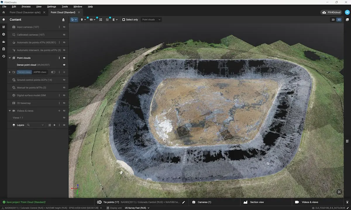
PIX4Dmatic Educational Licenses provide students, professors, and educational institutions with access to PIX4Dmatic Pro for advanced aerial and terrestrial photogrammetry. The software is designed to process large image datasets into accurate geospatial outputs while also providing surveying, measurement, vectorization, and CAD-ready workflows.
PIX4Dmatic has been unified with PIX4Dsurvey workflows, making it possible to handle photogrammetry processing and advanced surveying tasks within the same desktop application.
Key Features
- Professional aerial and terrestrial photogrammetry
- High-accuracy image calibration
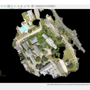
- Dense point-cloud generation
- DSM and orthomosaic creation
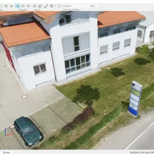
- 3D mesh generation
- Gaussian Splat generation
- Terrain classification
- DTM and contour generation
- TIN and grid-of-points workflows
- Distance and volume measurements
- Advanced vectorization tools
- CAD-ready data extraction
- GCP and checkpoint workflows
- Project merging
- AI-assisted object detection tools
- Orthoplane creation
- Sections and profiles
- Surface comparison
- Video fly-through creation
- PIX4Dcloud integration
- Unlimited desktop processing
- High-resolution outputs
- Support and software upgrades included
License Information
- License: PIX4Dmatic Pro Educational
- Platform: Desktop application
- License Type: Floating
- Concurrent Use: 1 device at a time
- Processing: Unlimited desktop processing
- Users: Students, professors and educational institutions
- Educational Types: Professor, Classroom and Student licenses
- Eligibility: Recognized educational affiliation is required
- Verification: Official educational institution email may be required
Applications
- Drone photogrammetry
- Aerial mapping
- Land surveying
- Topographic mapping
- Construction surveying
- 3D reconstruction
- Point-cloud processing
- Terrain analysis
- CAD/GIS workflows
- Educational research
- Geospatial data analysis
You must be logged in to post a review.

Reviews
There are no reviews yet.