
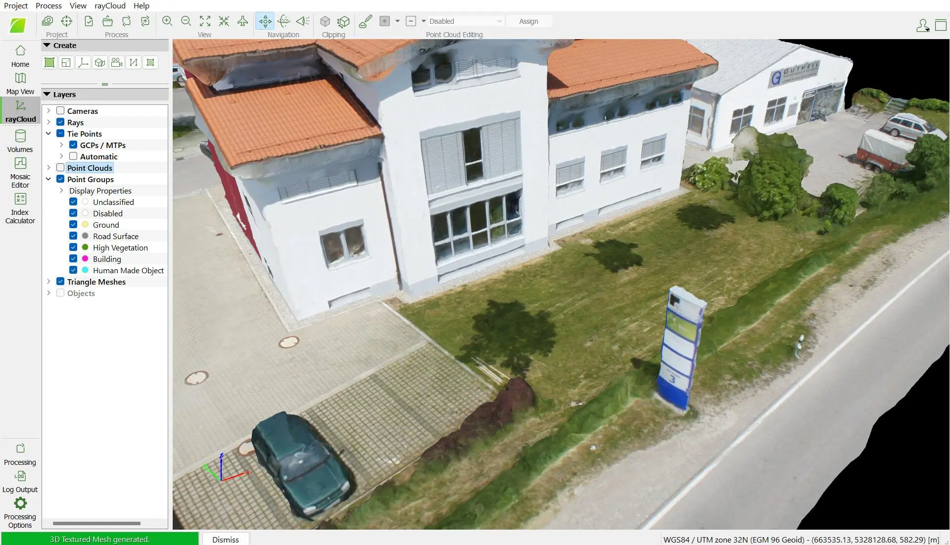
PIX4Dmapper: Industry-Standard Photogrammetry Software
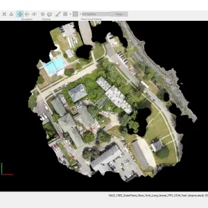
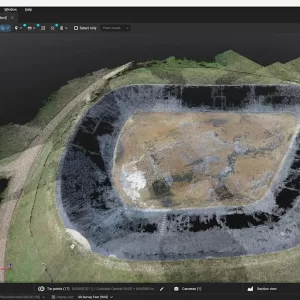
PIX4Dmapper is a professional drone mapping and photogrammetry solution that transforms aerial or terrestrial images into detailed orthomosaics, point clouds, elevation models, 3D meshes, and other geospatial products.
About This Product
PIX4Dmapper is professional photogrammetry software designed to convert aerial and ground imagery into accurate, georeferenced 2D maps and 3D models. It automatically identifies common points between overlapping images, calibrates the camera, reconstructs 3D information, and generates mapping outputs for surveying, agriculture, construction, mining, inspection, and other applications.
Key Features
- Processes aerial and terrestrial imagery
- Automatic image alignment and camera calibration
- Generates dense 3D point clouds
- Creates 3D textured meshes
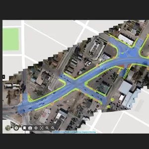
- Produces high-resolution orthomosaics
- Generates DSM and DTM outputs
- Ground Control Point (GCP) support
- Automatic point-cloud classification
- Contour-line generation
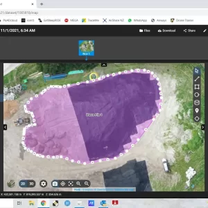
- Volume and distance measurements
- Multispectral image processing
- Reflectance and index maps
- Thermal mapping workflows
- Supports project merging
- Quality reports for checking processing results
- RayCloud 3D visualization environment
- Export to common GIS, CAD and 3D formats
Main Outputs
- Orthomosaic: GeoTIFF, KML
- Point Cloud: LAS, LAZ, PLY, XYZ
- Classified Point Cloud: LAS, LAZ
- DSM: GeoTIFF, XYZ, LAS, LAZ
- DTM: GeoTIFF
- 3D Textured Mesh: OBJ, FBX, DXF, PLY, PDF, OSGB, SLPK
- Contour Lines: SHP, DXF, PDF
- Index Maps: GeoTIFF, SHP
- Thermal Maps: GeoTIFF
- Reflectance Maps: GeoTIFF
Applications
- Drone surveying
- Topographic mapping
- Land surveying
- Construction monitoring
- Mining and quarry mapping
- Agriculture and precision farming
- Infrastructure inspection
- 3D reconstruction
- Volume calculations
- Thermal analysis
- Multispectral analysis
- GIS and CAD workflows
Technical Information
- Software Type: Photogrammetry and drone mapping software
- Processing: Desktop-based
- Image Inputs: JPEG, TIFF and supported video formats
- GCP: Supported
- Multispectral: Supported
- Thermal Imagery: Supported
- Point Cloud Classification: Supported
- 3D Mesh: Supported
- Orthomosaic: Supported
- DSM/DTM: Supported
- Coordinate Systems: Supported
- Quality Report: Available
- Export: GIS, CAD and 3D-compatible formats
You must be logged in to post a review.
Related products
5 in stock
Out of stock
Sale
Reviews
There are no reviews yet.