
PIX4Dcloud: Web-Based Platform for Processing, Hosting, and Sharing Drone/Terrestrial Imagery
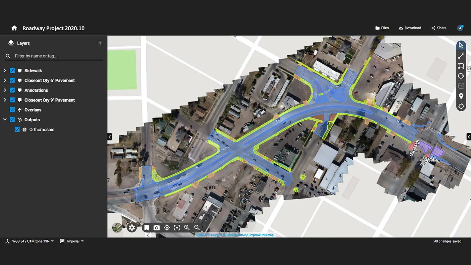
PIX4Dcloud is an online photogrammetry platform that transforms drone and terrestrial imagery into interactive 2D maps and 3D models for surveying, mapping, site monitoring, documentation, analysis, and collaboration.
About This Product
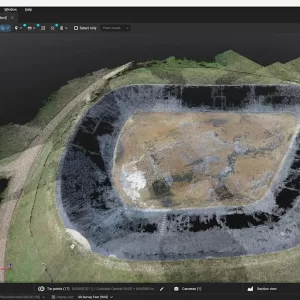
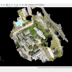
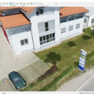
PIX4Dcloud is a cloud-based mapping and visualization platform for processing, managing, analyzing, and sharing drone and terrestrial imagery. It converts captured images into measurable 2D and 3D mapping outputs such as orthomosaics, point clouds, DSMs, and 3D meshes.
The platform also provides online tools for site documentation, progress monitoring, measurements, annotations, visualization, and collaboration, allowing project data to be accessed through a web browser.
Key Features
- Cloud-based image processing
- Supports drone and terrestrial imagery
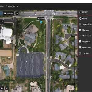
- Generates georeferenced orthomosaics
- Creates digital surface models (DSM)
- Generates 3D textured meshes
- Creates point clouds
- Supports Gaussian Splat models
- Online 2D and 3D visualization
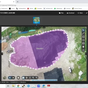
- Distance, area, and volume measurements
- Project annotations
- Site progress monitoring
- Timeline-based project tracking
- 2D/3D design overlay tools
- 2D/3D comparison workflows
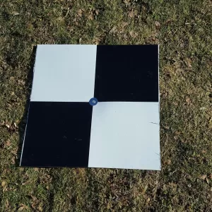
- Automatic GCP marking with PIX4Dcloud Pro
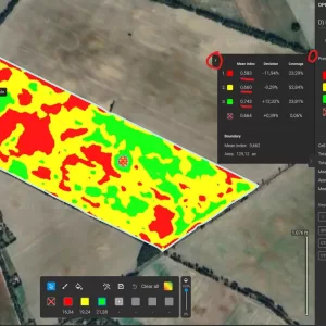
- NDVI and other index-map visualization
- Share projects through web links
- Export mapping outputs for external software
- Collaboration and project management tools
- Integration with selected third-party platforms
Processing & Outputs
PIX4Dcloud can process imagery using predefined workflows for applications such as aerial 3D mapping and oblique-image 3D modeling.
Available outputs can include:
- Orthomosaic — GeoTIFF
- DSM — GeoTIFF
- Point Cloud — LAS / LAZ
- 3D Mesh — OBJ
- SLPK point cloud/mesh with supported Pro plans
- Gaussian Splat — PLY
- Quality Report — PDF
- Processing Log
Applications
- Drone surveying
- Land and topographic mapping
- Construction site monitoring
- Infrastructure documentation
- Mining and quarry mapping
- 3D site documentation
- Progress monitoring
- Inspection
- GIS and CAD workflows
- Aerial photogrammetry
- Terrestrial 3D reconstruction
Technical / Platform Information
- Software Type: Cloud-based photogrammetry and mapping platform
- Access: Web browser
- Processing: Cloud-based
- Input: RGB aerial and terrestrial imagery
- Minimum Images: 6 images per dataset
- Maximum Images: Up to 4,000 images per dataset, subject to project characteristics and processing requirements
- 3D Outputs: Point cloud and 3D mesh
- 2D Outputs: Orthomosaic and DSM
- Sharing: Web-based links and embedded views
- Measurement Tools: Distance, area and volume
- Annotation: Supported
- GCP Workflow: Available with PIX4Dcloud Pro
- Plans: PIX4Dcloud Starter and PIX4Dcloud Pro
You must be logged in to post a review.
Reviews
There are no reviews yet.