
Pix4D Autotags: Auto-GCPs
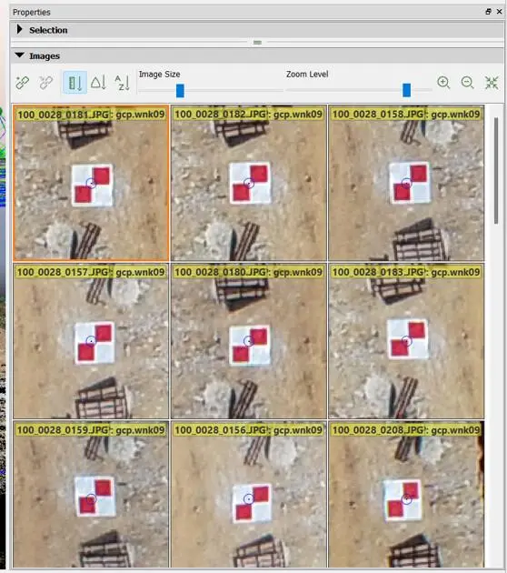
Pix4D Auto-GCPs automatically detects supported ground control targets in drone imagery, helping users streamline GCP marking and improve the georeferencing workflow of mapping projects.
About This Product
Pix4D Auto-GCPs is an automated ground control point detection feature designed to simplify the georeferencing workflow in drone mapping projects. It identifies supported ground targets in aerial images and automatically marks their positions during processing, reducing the need for manual GCP marking. The feature is available in PIX4Dcloud Pro and can be used to detect both Ground Control Points (GCPs) and Check Points for improving and evaluating project georeferencing.
Key Features
- Automatic detection of Ground Control Points
- Automatic detection of Check Points
- Pixel-level target center detection
- Reduces manual GCP marking
- Integrated into the PIX4Dcloud processing workflow
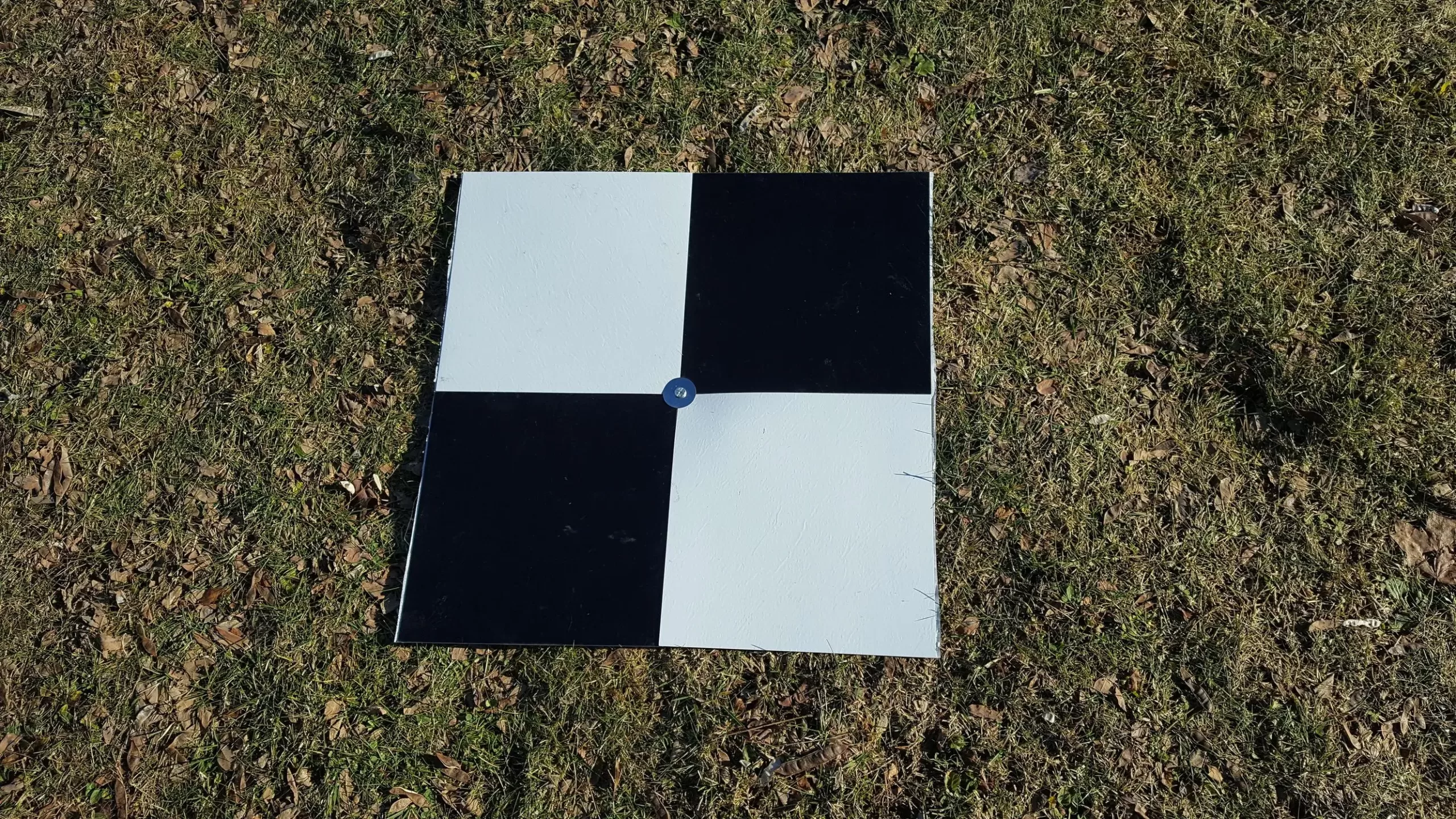
- Supports square and diagonal targets
- Supports AeroPoint targets
- Works with RGB imagery
- GCP layer available for visual review
- Supports accuracy assessment through Check Points
- Suitable for drone mapping and surveying workflows
Technical Specifications
- Feature Type: Automated GCP detection
- Platform: PIX4Dcloud Pro
- Supported Targets: Square, diagonal and AeroPoint
- Image Type: RGB
- Recommended Target Size: At least 20× the project’s average GSD
- Target Spacing: Minimum 10 m between GCPs
- Image Geolocation: WGS84 (EPSG:4326)
- Recommended Geolocation Accuracy: ≤5 m horizontal and ≤10 m vertical
- Image Orientation: Nadir or slightly oblique
- Processing: Cloud-based
- Output: Detected GCPs and Check Points for project georeferencing
Applications
- Drone surveying
- Photogrammetry
- Topographic mapping
- Land surveying
- Construction mapping
- Infrastructure projects
- Georeferencing
- Accuracy assessment
- Professional UAV mapping
You must be logged in to post a review.
Reviews
There are no reviews yet.