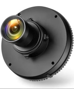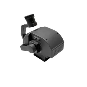
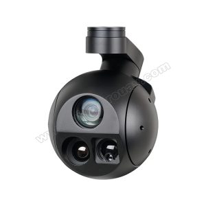
FS60-C Airborne Hyperspectral Camera
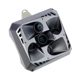
Get3D 5-Eye Lens Camera, 26 MP, total 130 MP
ADTi 25 mm APS-C Professional Mapping Camera Lens
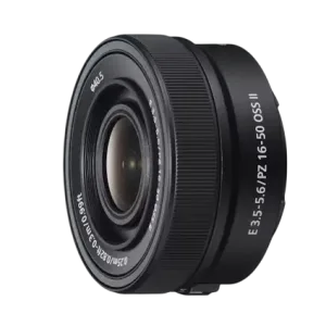
Sony E PZ 16–50 mm F3.5–5.6 OSS II Lens in india
₹25,400.00Versatile Zoom Range: Covers wide-angle to standard focal lengths, suitable for various shooting scenarios.
Optical SteadyShot™: Reduces camera shake, allowing for sharper images and smoother videos.
Power Zoom Mechanism: Enables smooth and silent zooming, enhancing video recording capabilities.
Retractable Design: Lens retracts when not in use, making it highly portable and ideal for travel.
Lightweight Construction: Weighing only 116g, it's easy to carry and handle for extended shooting sessions.
5 in stock
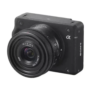
Sony ILX‑LR1 Industrial Installable Camera
₹289,600.00-
61 MP full‑frame back‑illuminated Exmor R™ CMOS sensor
-
BIONZ XR™ image processing engine for high dynamic range and low noise
-
Up to 3 fps continuous shooting
-
Compact, lightweight body (243 g; 100 × 74 × 42.5 mm)
1 in stock (can be backordered)
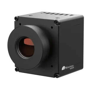
WEOM® HDMI Thermal Camera Module available in India
- High Sensitivity: <30 mK for precise thermal detection.
- High Resolution: 640 × 480 pixels for detailed thermal imaging.
- Advanced Image Processing: FPGA-based processing for superior visualization.
- HDMI Output: Easy integration with modern displays.
- Compact & Lightweight: 40.1 × 37.8 × 42.6 mm, <85g, ideal for various platforms.

MICASENSE SERIES RedEdge MULTISPECTRAL kit
Original price was: ₹1,700,000.00.₹1,670,000.00Current price is: ₹1,670,000.00.5 in stock
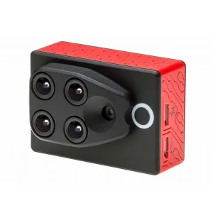
Parrot SEQUOIA+ Multispectral Sensor available in India
₹500,000.00- Four-band multispectral imaging (Green, Red, Red Edge, Near Infrared)
- High-resolution 14MP RGB camera for crop scouting
- Built-in GPS and IMU for precise geotagging
- Sunshine sensor for automatic light adjustment
- 64GB internal memory with expandable SD card slot
- WiFi and USB connectivity for easy data access
Available on backorder
Available on backorder
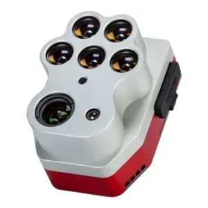
Micasense Altum-PT Camera for Drones in India
Original price was: ₹1,700,000.00.₹1,670,000.00Current price is: ₹1,670,000.00.Optimized 3-in-1 solution for advanced remote sensing and agricultural research.
Seamlessly integrates a 12 MP high-resolution panchromatic sensor, a new thermal sensor that provides twice the ground resolution of the previous Altum, and five discrete spectral bands. Its high-resolution makes it the perfect sensor for machine learning plant-level applications such as early-stage crop counting. It also features a global shutter for distortion-free results, open APIs, and a new storage device allowing up to 2 captures/second.Available on backorder
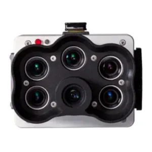
Micasense RedEdge-P High-resolution multispectral and RGB sensor
Original price was: ₹930,000.00.₹910,000.00Current price is: ₹910,000.00.Five multispectral bands at 1.6 MP each
- Blue (475 nm center, 32 nm bandwidth)
- Green (560 nm center, 27 nm bandwidth)
- Red (668 nm center, 14 nm bandwidth)
- Red edge (717 nm center, 12 nm bandwidth)
- Near-IR (842 nm center, 57 nm bandwidth)
What's included
RedEdge-P camera kit
Included:- RedEdge-P sensor
- DLS 2 light sensor with embedded GPS
- CRP2 Calibrated Reflectance Panel
- USB Wi-Fi dongle
- Lens cover
- Integration cables
- Assorted mounting hardware
- CFexpress card
- CFexpress card reader
- Hard carrying case
- Start guide
2 in stock