
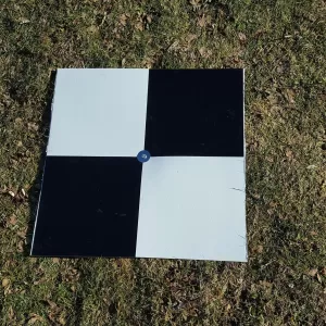
Pix4D Autotags: Auto-GCPs
Pix4D Auto-GCPs automatically detects supported ground control targets in drone imagery, helping users streamline GCP marking and improve the georeferencing workflow of mapping projects.
Read more
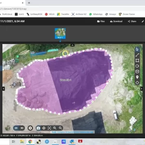
PIX4Dcloud Educational Licenses
PIX4Dcloud Educational Licenses offer academic users a professional cloud-based environment for drone mapping, 2D/3D reconstruction, site documentation, project analysis, and collaborative geospatial workflows.
Read more