
PIX4Dcloud Educational Licenses
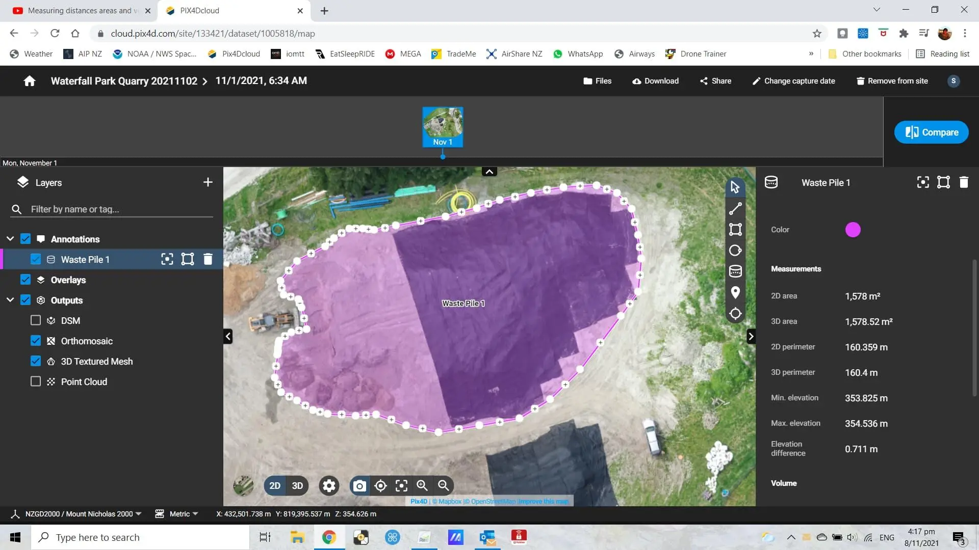
PIX4Dcloud Educational Licenses offer academic users a professional cloud-based environment for drone mapping, 2D/3D reconstruction, site documentation, project analysis, and collaborative geospatial workflows.
About This Product
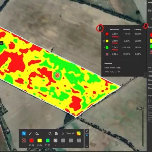
PIX4Dcloud Educational Licenses provide students, professors, and educational institutions with access to PIX4Dcloud Pro, a cloud-based platform for drone and ground mapping. It allows users to upload imagery, generate 2D maps and 3D models, monitor project progress, analyze survey data, and share mapping results online.
Key Features
- Cloud-based drone and ground mapping
- Process aerial imagery online
- Create accurate 2D maps and 3D models
- Generate orthomosaics, point clouds and DSM outputs
- Project progress monitoring
- Site documentation and visualization
- Distance, area and volume measurements
- Add and manage annotations
- CAD/GIS-compatible workflows
- Advanced project organization and collaboration
- AutoGCP support with PIX4Dcloud Pro
- Design map and plan overlay
- 2D and 3D comparison tools
- IFC file import and visualization
- Online sharing of mapping results
- Free educational course material
- 50% discount on PIX4D training products
- Support and software upgrades included
License Information
- License: PIX4Dcloud Pro Educational
- Duration: 1 Year
- Current Educational Price: USD 900/year, excluding taxes
- Platform: Cloud-based
- Processing: Online/cloud processing
- Users: Educational users
- Eligibility: Registered educational institutions, professors and students meeting PIX4D’s educational requirements
- Verification: Official educational institution email may be required and proof of affiliation can be requested
Applications
- Drone mapping
- Land surveying
- Construction site monitoring
- 3D site documentation
- Topographic mapping
- Infrastructure inspection
- Educational research
- Geospatial analysis
- Project progress tracking
You must be logged in to post a review.

Reviews
There are no reviews yet.