

PIX4Dreact Educational Licenses
PIX4Dreact Educational Licenses offer academic users a fast and practical solution for converting drone imagery into high-resolution 2D maps for emergency response, public safety, surveying, and educational mapping projects.
About This Product
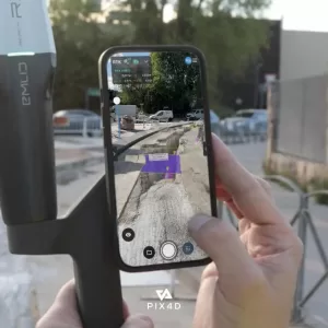
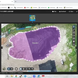
PIX4Dreact Educational Licenses provide educational institutions, professors, and students with access to PIX4Dreact, a fast 2D mapping application designed for emergency response, public safety, and rapid aerial image analysis. The software processes drone imagery locally to create high-resolution maps quickly, helping users visualize locations, mark important points, take measurements, and document situations where rapid mapping is required.
Key Features
- Fast 2D mapping from aerial/drone imagery
- Designed for emergency response and public safety applications
- Local processing on a desktop computer
- High-resolution map generation
- Mark and measure points of interest
- Map-based scene documentation
- Supports offline mapping after license activation
- Floating license with use on one device at a time
- Unlimited desktop processing
- High-resolution outputs
- Educational course material included
- 50% discount on PIX4D training products
- Product support and software upgrades included
- Available for Professor, Classroom, and Student educational users
Technical / License Specifications
- Software Type: 2D fast-mapping software
- Platform: Desktop
- Processing: Local/Desktop
- License Type: Floating
- Concurrent Device Use: 1 device at a time
- Processing: Unlimited desktop processing
- Output: High-resolution maps
- Internet: Required for initial license activation; mapping can subsequently be performed offline
- Target Users: Students, professors, classrooms, educational institutions
- Primary Applications: Emergency response, public safety, rapid mapping, aerial imagery analysis
You must be logged in to post a review.
Reviews
There are no reviews yet.