
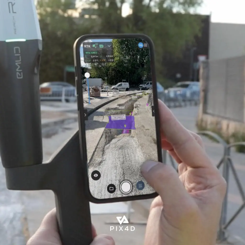
PIX4Dcatch: Transforms Smartphone or Tablet Into a Professional-Grade Surveying Tool
PIX4Dcatch is a mobile 3D scanning solution for capturing georeferenced site data using a smartphone or tablet, with support for photogrammetry, device LiDAR and RTK positioning for professional surveying workflows.
About This Product
PIX4Dcatch is a mobile 3D scanning application that turns a compatible smartphone or tablet into a practical field data-capture tool. It records images together with positional and orientation information and, on supported iOS devices, can also use LiDAR depth data.
The captured information can be converted into detailed 2D and 3D models using the PIX4D processing ecosystem. When paired with a compatible RTK receiver, PIX4Dcatch can provide highly accurate georeferencing for professional surveying and mapping workflows.
Features
- Mobile-based terrestrial 3D data capture
- Uses camera and device positioning information
- LiDAR-supported scanning on compatible iOS devices
- Photogrammetry-based 3D reconstruction
- RTK support for compatible iOS workflows
- Capture Ground Control Points (GCPs)
- Automatic GCP and tie-point detection with supported Pro features
- Augmented Reality (AR) capabilities
- CAD and GIS overlay workflows
- Point-cloud and textured 3D model generation
- Gaussian Splatting support
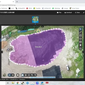
- Volume measurement and comparison tools
- Direct workflow with PIX4Dcloud
- Export and processing through PIX4Dmatic
- Live scan coverage feedback
- Suitable for construction, surveying and infrastructure work
Technical Specifications
| Specification | Details |
|---|---|
| Brand | PIX4D |
| Product | PIX4Dcatch |
| Software Type | Mobile 3D Scanning Application |
| Primary Use | Terrestrial 3D Mapping & Surveying |
| Platforms | iOS and Android |
| iOS Requirement | iOS 17.0 or later |
| Android Requirement | Android 9 or later |
| Capture Technology | Photogrammetry + supported device LiDAR |
| Positioning | GPS/GNSS |
| RTK | Supported with compatible devices/receivers |
| Standard Georeferencing | Meter-level using device GNSS/GPS |
| RTK Georeferencing | Centimeter-level with compatible RTK setup |
| Outputs | 2D/3D models, point clouds and related mapping data |
| Processing Options | PIX4Dcloud / PIX4Dmatic |
| AR | Supported |
| GCP Workflow | Supported |
| Gaussian Splatting | Supported |
| Internet | Required for certain workflows/services |
| Recommended Storage | At least 10 GB available for large projects |
Applications
- Land surveying
- Construction site documentation
- Building inspection
- Infrastructure inspection
- As-built documentation
- Stockpile and volume measurement
- Archaeological documentation
- Forensics and scene reconstruction
- Asset management
- Topographic and reality-capture projects
You must be logged in to post a review.
Reviews
There are no reviews yet.