


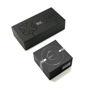


Here3 RTK GNSS Set, For Cube Autopilot Pixhawk 2.1 in India
₹38,000.00
What’s inside
Here3 *1
Here+ RTK Rover * 1
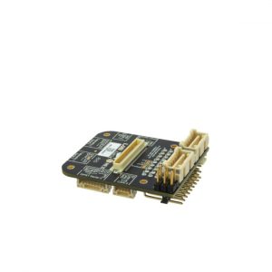
GPS1 port connector for connecting Here+ Rover to PH2 * 1
Here+ RTK Base * 1
Here+ RTK Base USB connector * 1
Highlights
- Centimeter‑level GNSS positioning for the mass market
- Integrated Real Time Kinematics (RTK) for fast time‑to‑market
- Smallest, lightest, and energy‑efficient RTK module
- Complete and versatile solution due to base and rover variants
Other features
- Breakaway mount
- 6CM Ground plane
Real Time Kinematic (RTK) satellite navigation is a technique used to enhance the precision of position data derived from satellite-based positioning systems (global navigation satellite systems, GNSS) such as GPS, GLONASS, Galileo, and BeiDou.
RTK used to increase GPS accuracy to centimeter level. High GPS accuracy is needed for GIS mapping survey.
How does it work
To achieve centimeter level accuracy two GPS units are used with one of them being stationary (base) and another one moving (rover). Base unit streams correction to the rover over radio or 3G.
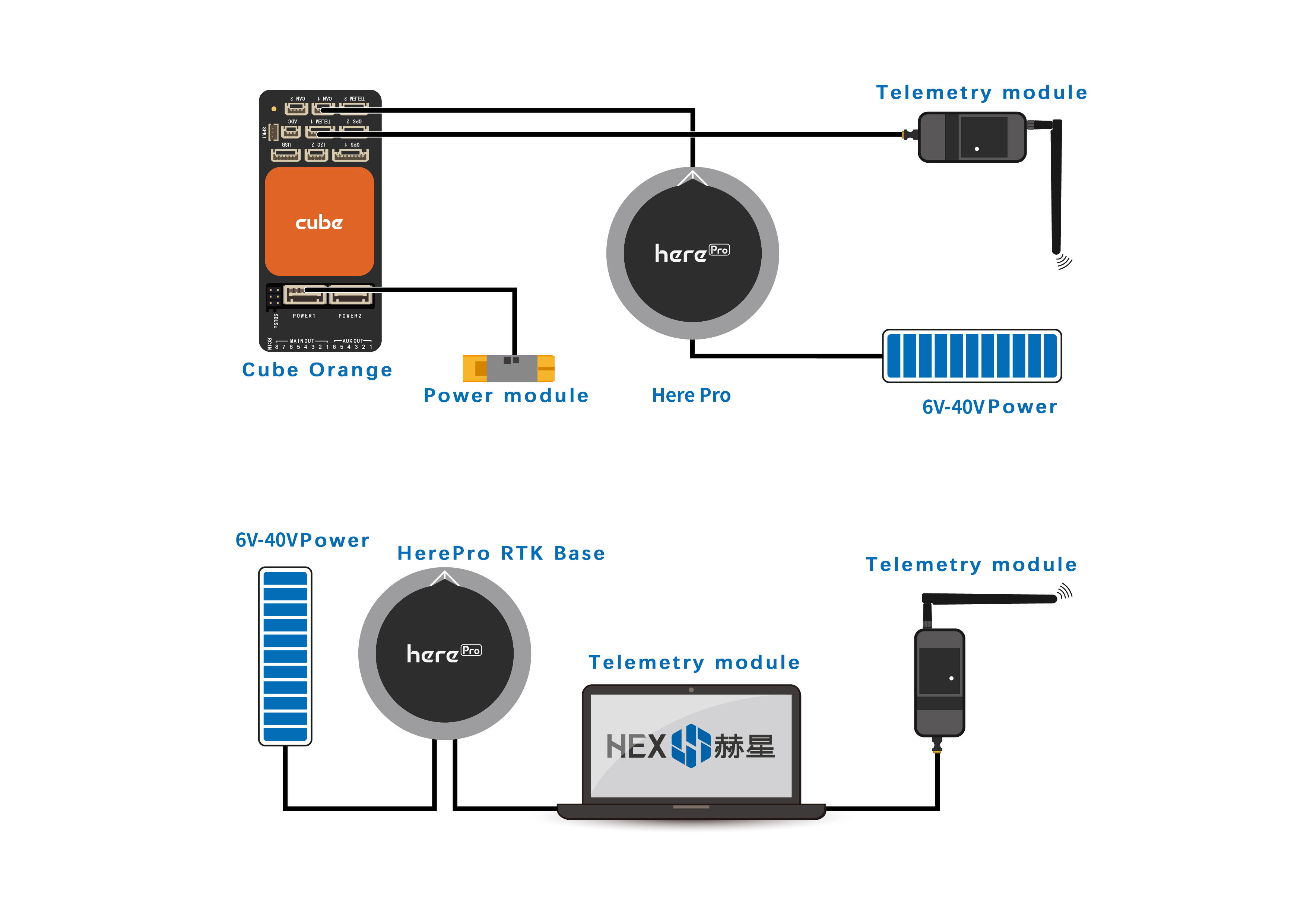
It’s simple – all you need is to setup Here+ to receive corrections from a base station:
1) Use a pair of Reach modules connected by radio modem, wi-fi or over the internet. One would act as a rover, while the other one would be your own base station.
You must be logged in to post a review.


Related products
Available on backorder

Available on backorder
Out of stock
Out of stock

Out of stock
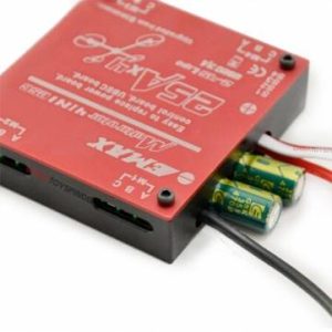
Emax Brushless 25A / 30A SimonK 4-in-1 Quadcopter ESC Built-in UBEC in India
₹2,450.00 – ₹2,800.00 Select optionsOut of stock

Out of stock
Reviews
There are no reviews yet.