


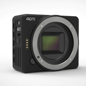
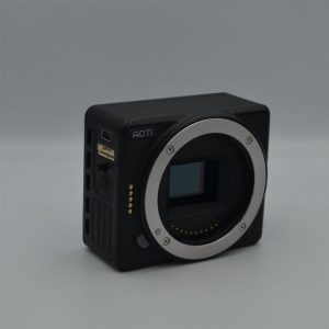
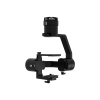
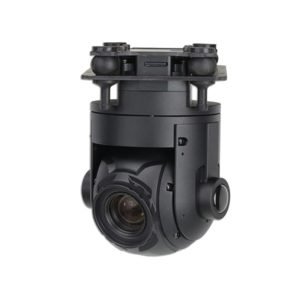
Drone Mapping Camera – ADTi Sony Alpha for GIS Surveying in India
₹95,000.00
Drone Mapping Camera for Aerial Mapping and Surveying in India
- Camera (body only) weight: 105 g
- Power source: 9-28V Lipo or Li-ion
- Camera format: APS-C
- Sensor type: CMOS
Why Choose (ADTi Sony Alpha camera) for Surveying and Aerial Mapping in India
We all know the weight of a small Unmanned Aircraft Vehicle directly affects its performance, especially the flight time. Typically, the battery and payload equipment are the two of the major sources of the UAV’s takeoff weight. the New vesion of 20/24MP drone mapping camera -ADTi Surveyor Lite, it has only 105 g without lens, with our new version of light weight 35/25mm F5.6 fixed lens, it has ONLY 138 g! This professional drone mapping camera is the impressive solution of all mapping, inspection, and aerial photography drones. it is durable and easy to mount on any type of drone.
Features
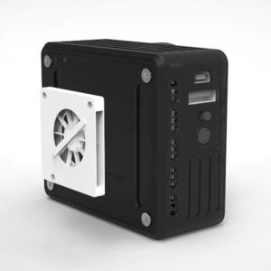
- The camera setting can be adjusted by connecting this camera with a monitor with HDMI.
- It has hotshor feedback that can trigger the PPK Module such as Emlid Reach PPK module for precision mapping.
- It has a heat dissipation system that allows camera works in a high temperature weather condition.
Specification
Camera format: APS-C
Sensor type: CMOS
Camera Effective Megapixels: 24.3MP/20 MP
24MP Camera Sensor Size: 366.6mm2 (23.5mm*15.6mm)
20MP Camera Sensor Size: 357.28mm2(23.2 x 15.4 mm)
Shutter Speed Range: 1/4000-30
Usable Memory Type: SD/SDHC/SDXC/MS
Hot shoe for PPK: Yes (optional)
Uncompressed Format: RAW, RAW+JPEG
USB2.0: Yes
HDMI: Yes
Image Stabilization: Yes
Power source: 9-28V Lipo or Li-ion
Camera Size (W*H*D in mm): 73*62*36
Camera (body only) weight: 105 g
You must be logged in to post a review.

Reviews
There are no reviews yet.